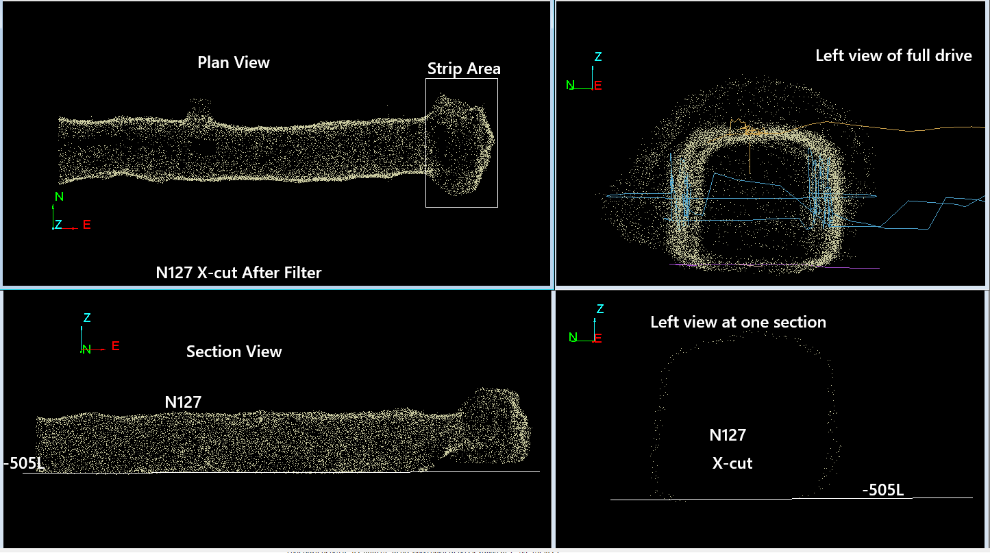
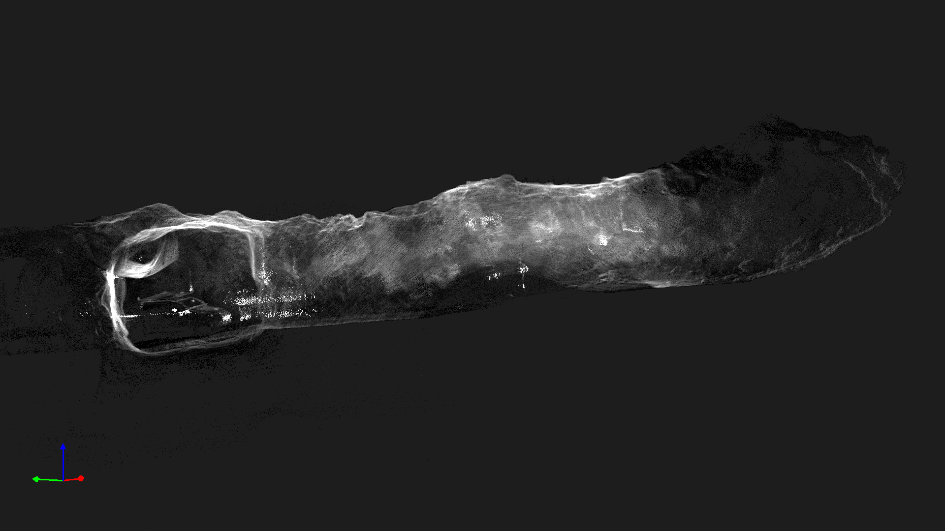
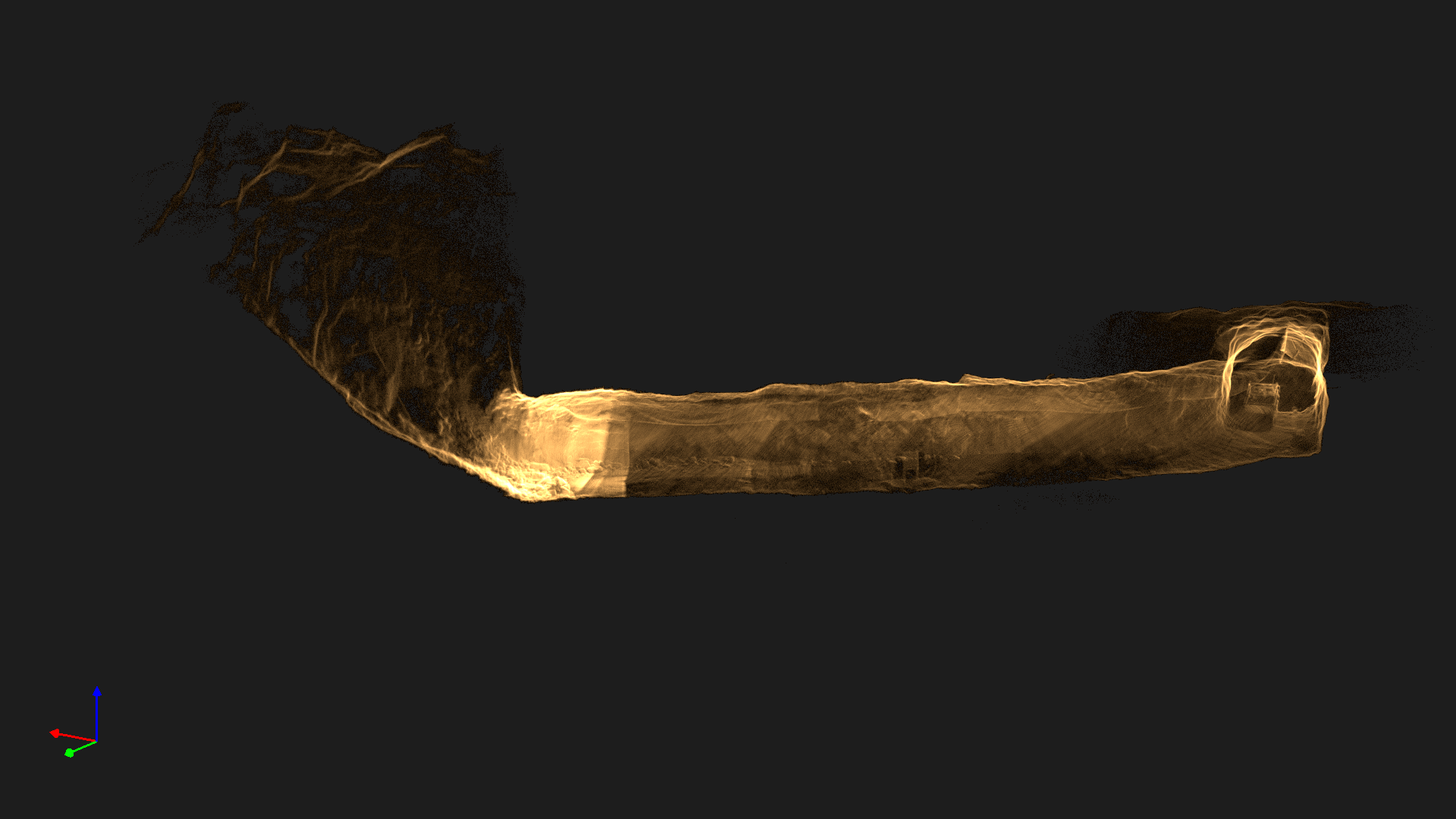
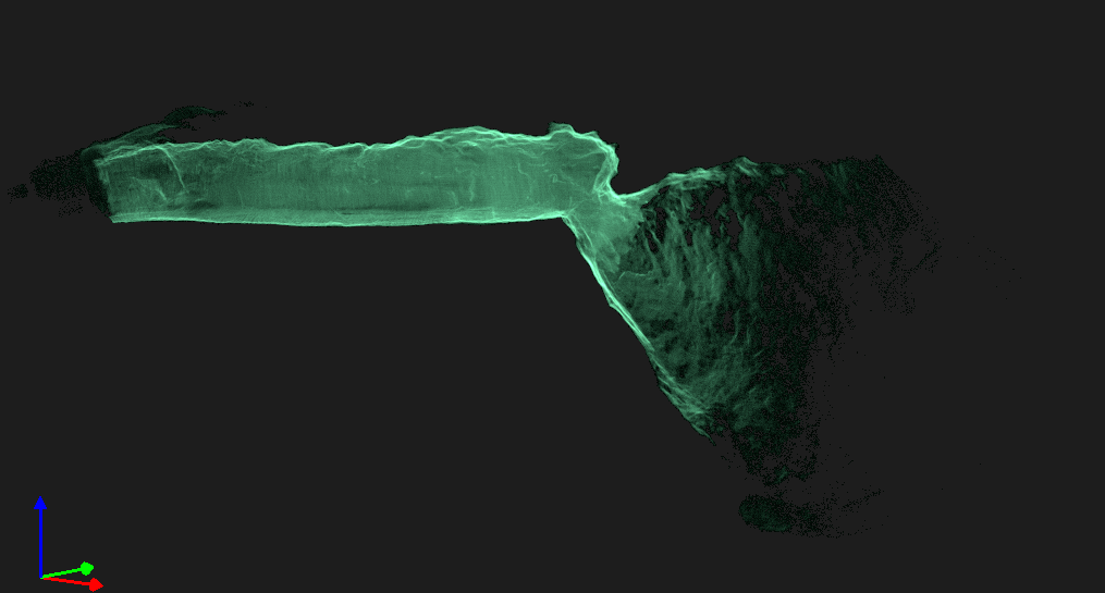
Stope Volume, Cavity Monitoring & Tunnel Excavation
Keep your personnel safe from rockfall, unstable ground, and poor air quality. Our SLAM-based LiDAR and specially designed underground drones capture accurate 3D data in GPS-denied environments - without putting people in harm's way.
Remove personnel from hazardous underground environments while getting better data
From mining stopes to infrastructure tunnels - accurate 3D mapping where GPS can't reach
Accurate measurement of mined-out stopes to verify blasted stock volumes and reconcile ore extraction
MiningHigh-density point cloud capture of underground voids for structural integrity and geotechnical analysis
Track excavation volumes for metro, road, dam, and hydropower tunnel construction projects
Quantify broken ore and waste rock after blasting for accurate production reconciliation
Our specially designed LiDAR systems and underground-capable drones navigate GPS-denied environments using Simultaneous Localization and Mapping (SLAM) algorithms.
SLAM algorithms enable precise positioning without satellite signals - works in complete darkness
300-500 points/m² vs 10-50 for traditional CMS - significantly more detailed cavity representation
Survey-grade precision for volumetric calculations, blasting analysis, and geotechnical work
View scan results immediately - verify data quality before leaving hazardous areas
Stope profiling and blasted stock measurement for iron ore, metal, and mineral mines
Stope volume reconciliation for underground iron ore operations in Odisha, Karnataka, and Goa
Copper, lead, zinc stope surveys for Hindustan Zinc, HCL, and other underground metal operations
Underground limestone and gypsum mine cavity surveys for cement and fertilizer industries
Excavation progress tracking for India's massive tunnel construction program
TBM and NATM tunnel progress mapping for Delhi, Mumbai, Chennai, Kolkata, and Bangalore metro projects.
Mountain tunnel surveys for Himalayan highways, expressway tunnels, and strategic border road projects.
Head race tunnel (HRT), tail race tunnel, and surge shaft surveys for hydropower projects in Himachal, Uttarakhand, and Northeast India.
Underground water supply and sewerage tunnel mapping for urban infrastructure projects.
High-density point clouds and 3D models ready for mine planning, geotechnical analysis, and production reconciliation.
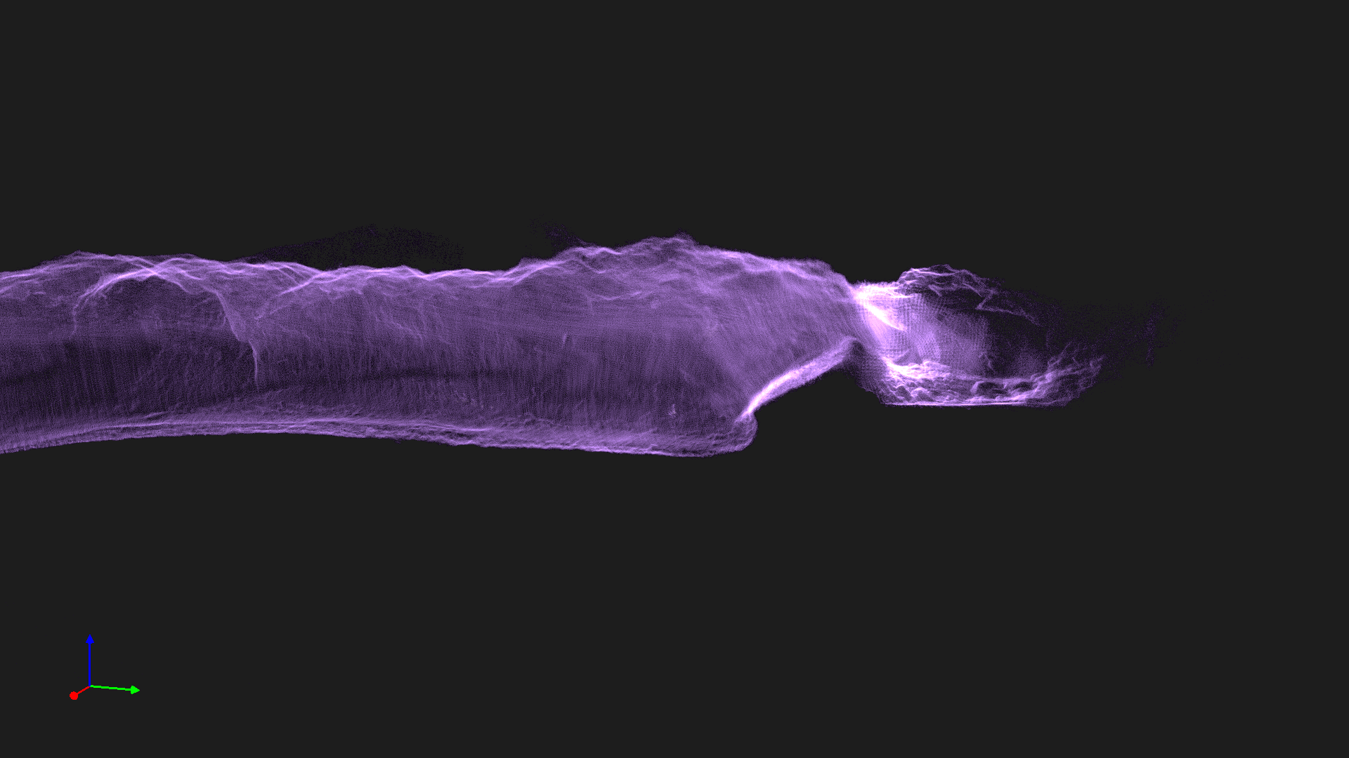
Flexible survey options for mining operations and infrastructure projects
Single stope survey, tunnel as-built, or cavity documentation for specific project needs
Regular stope reconciliation or tunnel progress tracking on scheduled intervals
Dedicated team and equipment stationed at your site for continuous underground survey operations
Get accurate stope volumes and tunnel measurements while keeping your team safe. Free site assessment.